- Five-Day Conference in Islamabad to Bring Together International Experts to Strengthen Disaster Preparedness, Climate Action and Early Warning Systems
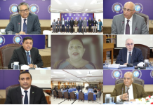
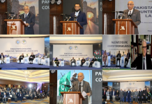
ISLAMABAD, October 25, 2026: The Pakistan Space and Upper Atmosphere Research Commission (SUPARCO) will inaugurate the United Nations–Pakistan International Conference on Leveraging Space Technology for Early Warning for All (EW4All), Climate Action and Disaster Risk Assessment on October 27 at the Serena Hotel, Islamabad.
The five-day international conference will focus on harnessing advanced space technologies, satellite-based observations and geospatial information to strengthen early warning systems, improve disaster risk assessment and protect vulnerable communities from climate-related hazards.
Federal Minister for Planning, Development and Special Initiatives Prof. Ahsan Iqbal will attend the inaugural ceremony as the chief guest.
International Partners Join Hands to Advance Space-Based Disaster Management
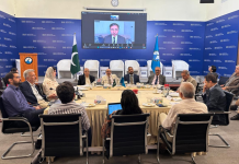
The conference is being co-sponsored by the United Nations Office for Outer Space Affairs (UNOOSA), through its United Nations Platform for Space-based Information for Disaster Management and Emergency Response (UN-SPIDER), the Asia-Pacific Space Cooperation Organization (APSCO) and the Inter-Islamic Network on Space Sciences and Technology (ISNET).
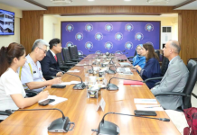
An estimated 200–250 national and international participants are expected to attend, including space technology specialists, policymakers, researchers and representatives of relevant national and international organisations.
The gathering will provide a platform for knowledge-sharing, technical cooperation and the development of practical approaches to using space-based technologies for disaster preparedness and climate resilience.
Satellite Technology to Strengthen Early Warning Systems
Early warning systems play a critical role in protecting lives, livelihoods and infrastructure by providing timely information about potential hazards and enabling authorities and communities to take preventive action.
The conference will examine how satellite observations, Earth observation data and geospatial technologies can support the United Nations’ Early Warnings for All (EW4All) initiative and improve the monitoring, forecasting and assessment of natural hazards, including floods, droughts and heatwaves.
Discussions will also focus on strengthening the application of space-derived information in disaster risk assessment, emergency planning and timely decision-making, helping authorities respond more effectively to emerging threats.
Pakistan to Strengthen Climate Resilience and International Cooperation
For Pakistan, the conference represents an opportunity to enhance national capabilities in early warning, climate action and disaster risk reduction while strengthening cooperation with international partners.
The practical application of satellite-based information can help improve hazard monitoring, support evidence-based planning and enable relevant institutions to make better-informed decisions before, during and after disasters.
By bringing together technical experts and policymakers, the conference will encourage the exchange of knowledge and experiences, supporting the development of more effective and resilient disaster management systems.
Technical Visit to NDMA to Highlight Operational Applications
The conference will conclude on October 31, 2026, with a closing ceremony and a technical visit to the National Disaster Management Authority (NDMA).
The visit will highlight the operational role of satellite-derived information and geospatial technologies in disaster management, emergency response and early warning systems.
The event is expected to reinforce the importance of international collaboration and technological innovation in addressing climate-related challenges and building safer, better-prepared communities.
BY: The Times Union